
Finding Essex County Neighbors Near an Address
Start with a narrow question: which parcels adjoin the subject lot, which public office holds each kind of record, and what date does that record represent? Essex County has municipal assessors, a county land-record office, state parcel layers, election offices, libraries, and local groups. Each source answers a different question. The parcel layer is best for the shape and location of a block. Assessment material supplies annual tax context. A deed index records an instrument, not a current household. Association pages provide public community context rather than a membership list.
| Source | What It Shows About a Block | Access |
|---|---|---|
| NJGIN / NJGIS cadastral layer | Touching parcel geometry, municipality, block, lot, PIN, mapped address, and layer date | State map tools; polygon is not a survey |
| Municipal assessor or tax roll | Annual property class, assessment context, and owner or mailing fields where public | Municipal office or Property Tax Transparency |
| Essex Register PRESS | Indexed land instruments, party roles, municipality, block, lot, and recording date | Online index, then the Record Room when needed |
| Election records | Statutory voter-list access and election-district context, subject to exclusions | State election guidance and the county route |
| Association and library sources | Public meetings, boundaries, newsletters, historical street-order listings, and local context | Organization site, Newark Public Library, or on-site collection |
An owner field and an address field are not proof of present occupancy. State-hosted parcels can redact owner names, annual assessments can lag a transfer, and a historic directory names a household at a particular date only. Record those limits beside the result instead of filling a gap with a guess.
Defining an Essex County Neighbor
One block can produce several valid boundaries. A touching parcel is a land-map relationship. Nearby street numbers form an address sequence. A ward or election district is an election geography. A ZIP is a delivery geography. An association may describe a smaller community with its own volunteer boundaries. These layers should not be treated as interchangeable, especially on a long street that crosses a municipal or delivery line.
Essex County covers 22 municipalities, so the civil municipality belongs in every block note. The county's 2025 population estimate and compact land area also explain why a broad name search can produce many same-name candidates. Parcel geometry narrows the location first. A current municipality and a source date then make the result more useful than an unqualified street name.
Note: A map boundary is geographic context, while a public association boundary reflects the organization’s own stated scope.
Map Essex County Neighbor Parcels
The NJGIS cadastral layer provides the stable fields for this task: PAMS PIN, municipality, block, lot, property location, street address, property class, last update, and shape. Use the map to identify adjoining geometry, not to draw a legal boundary or publish a private-occupant list. If a unit is absent or an address resolves to several parcels, keep that ambiguity in the notes and consult the municipal assessor or tax map.
Block flow: street address and municipality → subject parcel and PIN → touching shapes → block and lot for each adjacent parcel → assessor or Register record for the specific question → public association boundary or meeting route where relevant.
- Search the address in NJGIN or the municipal map and confirm the municipality before saving the parcel identifiers.
- Click only the parcels that share an edge or boundary point with the subject parcel, then record the layer update date.
- Use the municipal assessment route for annual context, keeping the situs address separate from any mailing address.
- When a land instrument matters, search PRESS by municipality, block, and lot, then read the index as an index rather than a title conclusion.
For a complete sequence along a named road, the Essex County street directory follows the broader address chain. A block review stays focused on the parcels directly around the starting point.
Essex County Neighbor Association Channels
Community organizations offer a public layer that official parcel data cannot provide. Their pages may announce meetings, identify a service area, publish a contact form, or describe advocacy and events. They do not create a countywide roster, and an event notice should never be converted into a list of local households. The reliable approach is to use the organization’s own description and contact route for the municipality in question.
Upper Montclair
Montclair Community describes the Upper Montclair Neighborhood Association as volunteer-led, open to residents, and focused on communication, events, and advocacy.
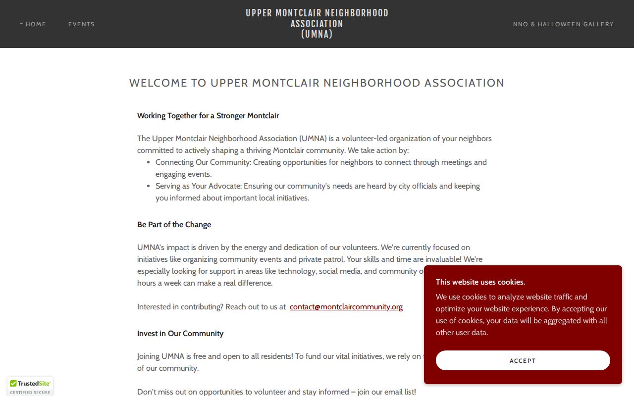
The organization’s stated scope is useful community context, not proof that a named person lives on a block.
South Orange
South Orange’s municipal neighborhood page identifies the Seton Village Neighborhood Association among its local groups.
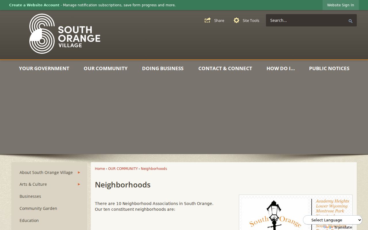
A municipality-sponsored list can point to the right public organization before anyone relies on a neighborhood label.
Community Networks Around Essex County Blocks
Newark illustrates why association research stays local. The Ivy Hill Neighborhood Association has its own community scope. In the West Ward, the Heart of Vailsburg Block Club Coalition publishes a network of block associations. Those sites can help someone find public community activity or an organization contact, but neither one is a countywide directory and neither one supports a claim about a private household.
Ivy Hill Neighborhood Association
The Ivy Hill Neighborhood Association provides a public route to its Newark community information.
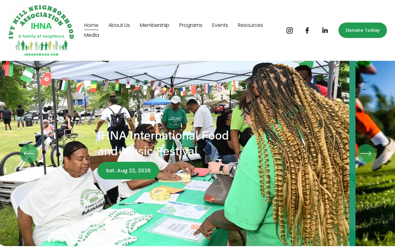
Use the group’s public information for community context and contact, while leaving private membership to the organization.
Vailsburg Block Associations
The Heart of Vailsburg Block Club Coalition publishes a public block-association network for Newark’s West Ward.
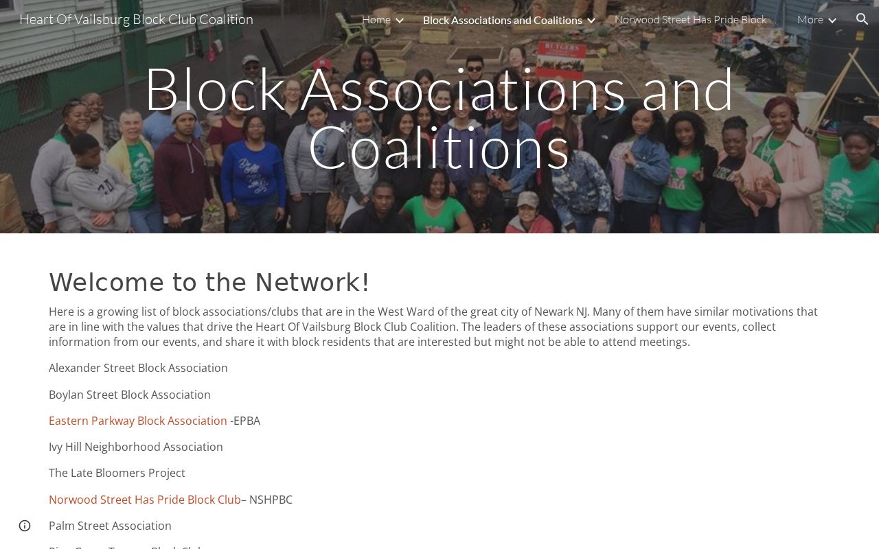
Its public network shows an association model, not a standardized boundary or directory for all of Essex County.
Historical street-order directories and newspapers can add a dated picture of institutions or businesses on a block. The Newark Public Library’s New Jersey Room and the New Jersey Historical Society are better access channels for that history than a modern parcel card.
Essex County Neighbor Voter-List Rules
New Jersey’s voter-status route is not a block directory. The public-list statute, N.J.S.A. 19:31-18.1, governs voter-list access and excludes signatures and protected-person home addresses. It also restricts solicitation uses. The much larger statewide voter-registration system includes internal fields that should not be presented as public output.
The Essex County Commissioner of Registration and County Clerk provide county election routes, while the official state portal handles registration-status guidance. Use an election district as a separate geography from a block, parcel, or association. If a protected address is absent, that absence is a legal safeguard, not evidence about the person or the property.
Note: Election geography can help identify a public district, but it does not establish a private resident list for a street.
Official Essex County Block Sources
Official records and commercial lookup products do different jobs. A public source should be read for its defined role, date, and access limit. A commercial category may combine material from several sources, but it can carry stale information, mix similarly named people, or omit the record’s original context. Verify a consequential detail with the office or collection that created it.
| Source Category | Useful For | Limit to Keep Visible |
|---|---|---|
| Official parcel, assessment, Register, and election sources | Specific map, tax, land-instrument, or statutory-access questions | Fields can be redacted, delayed, restricted, or limited to the record’s purpose |
| Commercial lookup category | A starting lead to be checked independently | May combine stale, mismatched, or context-free data and is not an authoritative record |
| Library and association sources | Historical or community context, public meetings, and stated boundaries | A dated listing or public notice does not prove current presence or private membership |
Essex County Parcel-Layer Changes
The state’s Property Explorer and parcel resources are moving systems, not fixed books. NJGIN records a Property Explorer beta in 2025, a later transition out of beta, and Essex parcel-data updates in 2026. That makes the layer’s own update date important. Save it with the parcel fields, especially when an owner display is blank, abbreviated, or redacted.
This is a numbers-and-records issue as much as a mapping issue. A parcel card can show a mapped location and fields from one update cycle, while an assessment has its own annual timing and the Register index has its own recording date. Three dates may be needed to describe one small area accurately.
Privacy Limits for Essex County Neighbor Research
New Jersey protects some addresses even when a government record exists. The Address Confidentiality Program can provide a substitute address for qualifying participants, and Daniel’s Law covers specified protected people and households. State parcel products may therefore suppress an owner field. Do not infer a name from a nearby directory entry, an old mailing address, or a visible map label.
For the New Jersey Address Confidentiality Program, the official page explains the substitute-address route for qualifying participants.
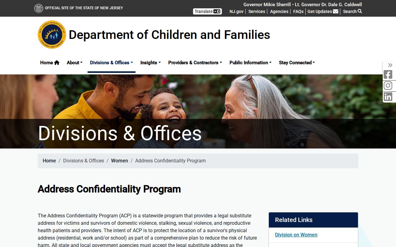
The program is a safety measure, not a missing-data problem to solve through other sources.
The New Jersey Office of Information Privacy is the official Daniel’s Law route for protected-address information.
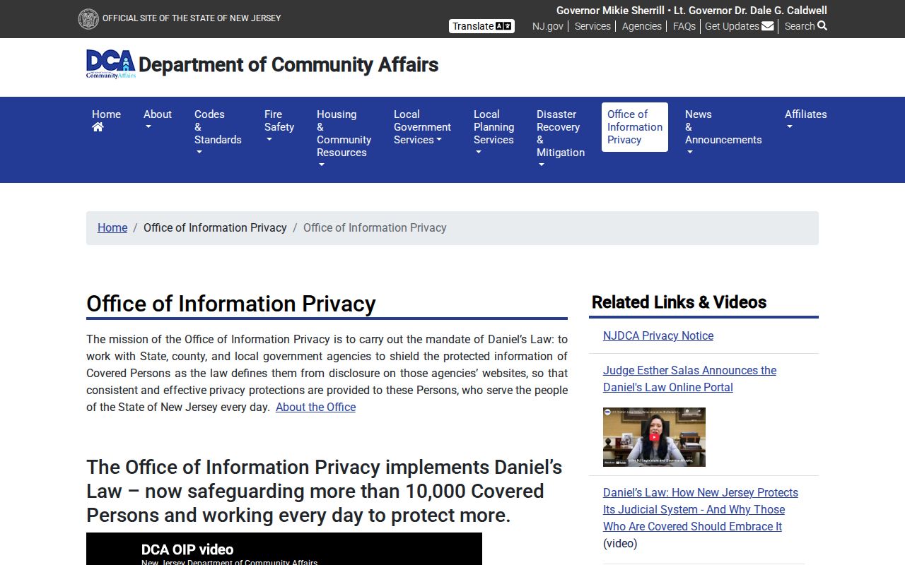
A redaction can be intentional and should remain intact when describing public records.
Lawful use. Use block information for personal, lawful research, civic context, and public community contacts. New Jersey’s stalking statute, N.J.S.A. 2C:12-10, bars conduct that repeatedly monitors, threatens, or causes fear; never use records to harass, intimidate, or confront someone at an address.