
Trace an Essex County Street by Address
A street search works best as a sequence of narrow checks. Preserve the address exactly as supplied, including a unit, direction, suffix, municipality, and ZIP. Then keep the property location, block, lot, and PAMS PIN in separate fields. The same string can resolve differently in a postal system, a municipal tax roll, and a state map. Starting with the place prevents a broad name result from being attached to the wrong street segment or municipality.
- Use the address and municipality to locate the parcel in a map or assessor source, then record the block, lot, PIN, property location, and map date.
- Inspect adjacent street numbers or parcel shapes only to understand the local sequence. A long road can cross a town, ZIP, ward, or historical numbering system.
- Check the municipal assessment record for annual tax context, keeping a mailing address distinct from the physical parcel location.
- Search the Essex Register’s PRESS index by municipality, block, and lot when a recorded land instrument is relevant.
- For a dated household clue, use a street-order or criss-cross directory through the Newark Public Library rather than assuming a modern parcel field identifies present occupants.
The sequence separates map context, assessment context, recorded instruments, and historical listings. That distinction matters because none of those records alone is a complete current household list.
Set the Essex County Street Address First
USPS can confirm delivery formatting, but its result does not confirm that a person or organization is at an address. Use the USPS ZIP Lookup to test the mailing form, then use NJGIN or NJ GeoWeb to identify the civil municipality and parcel setting. A municipality is not the same thing as a ZIP, and a parcel description can differ from the postal address.
A useful address note retains the original form alongside a normalized form. Record street number, directional, street name, suffix, unit, municipality, state, and ZIP. Then add the land identifiers only after the map resolves the place. This preserves older spellings or numbered-street forms that can matter when comparing a deed index or an older directory.
Note: A delivery result narrows the correct address format, but it does not establish a resident or a legal parcel boundary.
Essex County Street Directory Parcel Fields
The state Property Tax Transparency page and NJGIN describe the fields that make an address search repeatable. Municipal assessor screens vary, and state-hosted owner names may be redacted, but the same geography-first keys remain useful. The annual assessment date should always be saved because a record filed in January can lag a later transfer.
| Field | How It Helps a Street Search | Format or Limit |
|---|---|---|
| Address Search | Finds a street, city, ZIP, or map location before land identifiers are known | Optional text or map search; exact behavior varies by application |
| County / Municipality | Separates Essex County from the specific civil municipality holding local assessment data | Dropdown or local selector |
| Block and Lot | Connects the parcel to the Register’s land-index mode | Paired fields; use the municipality’s format |
| PIN | Preserves the parcel identifier for later map and tax-card comparison | Optional text field where provided |
| Owner | Offers a tax-record lead where display is permitted | May be blank or redacted under Daniel’s Law |
| Assessment and class | Shows annual tax context and property classification | Record the tax year with the value |
The Essex County Tax Board supplies assessment-search routing and municipal assessor contacts.
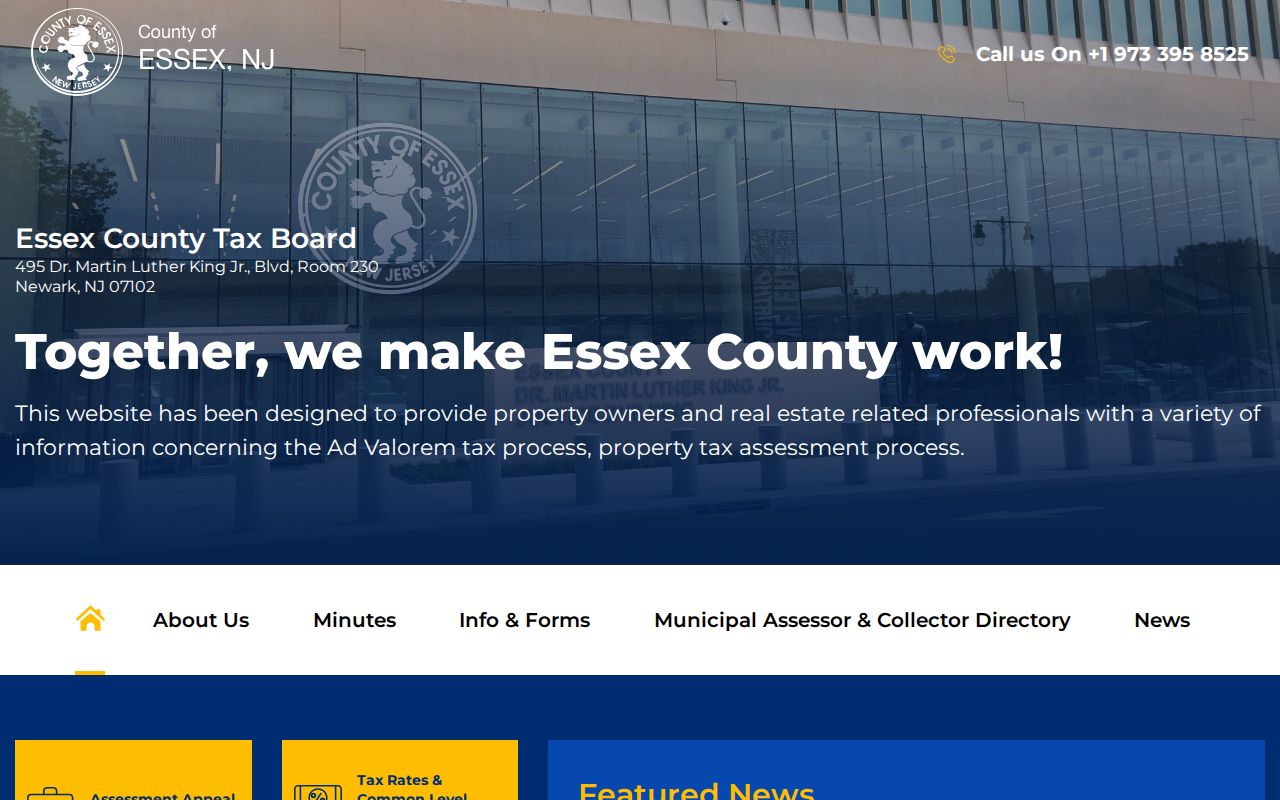
The county route helps identify the appropriate local assessor, because Essex County does not operate one uniform municipal owner database.
Map an Essex County Street Segment
The NJGIS cadastral layer is the map bridge between an address and the land index. Its stable parcel fields include PAMS PIN, municipality, block, lot, quarter code, property class, property location, street address, owner-name display, shape, and a layer-update value. Capture the map date with the search terms. A map card is useful for location and parcel context, not for a legal boundary conclusion.
Street flow: address and municipality → parcel card → PAMS PIN and block/lot → PRESS block-and-lot search → document type and recording date → municipal record or historical source for the question at hand.
Open the NJGIS cadastral layer to inspect the available parcel attributes.
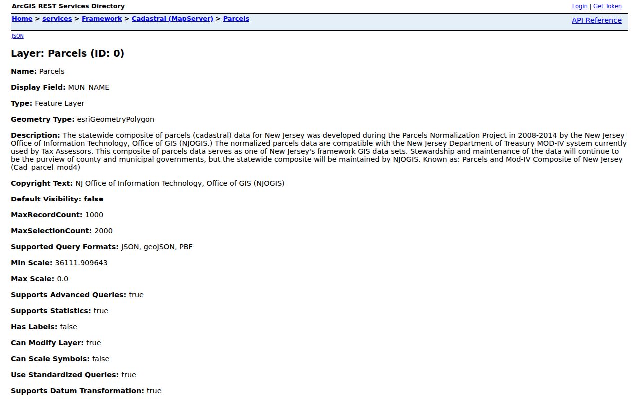
The layer’s geometry helps a reader walk an address sequence, but its polygons are not survey boundaries and an owner field can be suppressed.
Essex County Street Records by Address
Address-keyed records have different keepers and different dates. An assessor card can establish annual tax context. The parcel layer can stabilize the location. PRESS can identify recorded instruments. Municipal offices hold permit and inspection material. Voter-list access is statutory and limited. A criss-cross directory is historical evidence for the year printed. Treat the address as the shared key, then state exactly what each source can and cannot establish.
| Record Set | Address Key | Street Evidence | Access |
|---|---|---|---|
| Assessor or tax roll | Situs address, block, lot, owner or mailing fields | Annual assessment, tax class, values, and mailing-versus-situs context | Municipal assessor or Property Explorer; some fields may be protected |
| NJGIS parcel map | PIN, block, lot, shape, street address | Mapped location, parcel geometry, class, and update date | NJGIN or NJGIS; map is not a survey |
| PRESS land index | Municipality plus block and lot, document index, or name | Deeds, mortgages, liens, maps, releases, parties, and recording dates | Remote index within stated coverage; Record Room for older or deeper work |
| Permit or code file | Street address or permit number | Construction, inspection, code, or occupancy-status events | Municipality-specific office or OPRA request |
| Election record route | Residence address and election district | Statutory voter-list access and public election context | State and county election offices; public output is limited |
| Criss-cross directory | Street number and directory year | Dated occupant or business listing | Newark Public Library holdings and digitized collection |
Note: A shared address connects these records, but it does not make their dates, purposes, or access rules interchangeable.
Search Essex County PRESS by Block and Lot
The Essex Register PRESS basic search supports instrument, book-and-page, document-type, block-and-lot, and name modes. For an address, block and lot paired with the municipality provide the cleanest starting point. The result should be logged with query date, municipality, block, lot, document type, instrument number, book or page when shown, recording date, party role, and image status.
PRESS accepts date ranges no longer than 90 days, so a multi-year document-type review must be divided into separate windows. Its remote index is described from October 1, 1996. The Register’s record systems go further back, and the Record Room or Public Vault is the next channel for older books, unavailable images, certified copies, or help understanding the index. The online result is not a title search.
Deeds, mortgages, releases, cancellations, maps, street acceptances, vacations, tax-sale instruments, liens, and lis pendens are different document types. A lis pendens is a litigation notice, not a final outcome, and a mortgage discharge is not proof that a property was empty. Read the named instrument before making a statement about it.
Essex County Parcel Data Has Dates
NJGIN’s Property Explorer moved through a 2025 beta and later transition, and the state archive records an Essex parcel-data update in 2026. The NJGIN parcel-data guidance also explains that county and municipal governments maintain the source data while the state composites it. That history makes a layer-update value a key part of a street record, not a technical afterthought.
Property evidence commonly carries three different dates: the map layer update, the annual assessment year, and the recording date of a land instrument. A name may also appear shortened because the MOD-IV owner field is limited to 35 characters and a constrained character set. Compare the identifier and date before treating a punctuation change or abbreviation as a different person.
The NJGIN parcel-data page explains the source-data and legal-boundary limits.
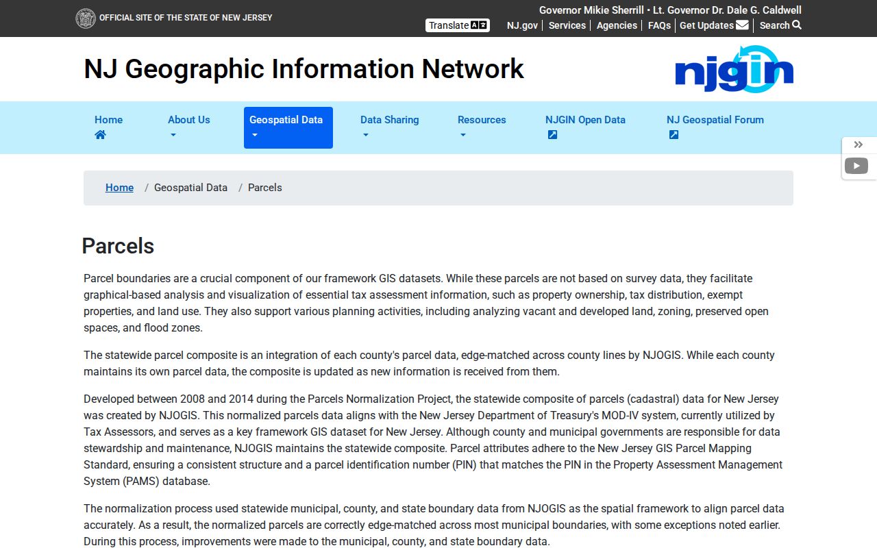
Use the state layer to discover a parcel and its update context, then turn to the local assessor or Register for the record needed.
Newark Street Permit and Code Files
Newark is the county’s best-documented municipal example, but its offices should not be treated as countywide replacements. The Newark Building Division handles construction, renovation, rehabilitation, permit, and inspection functions. Code Enforcement covers a different health-and-safety route. A construction permit, inspection, certificate of occupancy, resale inspection, and code-enforcement case are separate record types and need the correct office.
Building Division
The Newark Building Division provides the permit and inspection route for address-keyed construction records.
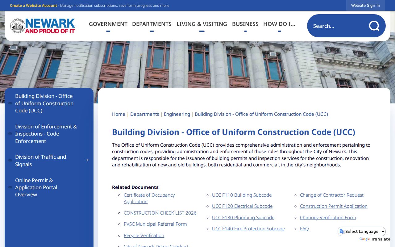
A permit documents proposed or inspected work, not a complete account of a building’s life or all people connected to it.
Code Enforcement
The Newark Code Enforcement page identifies the separate inspection and enforcement route.
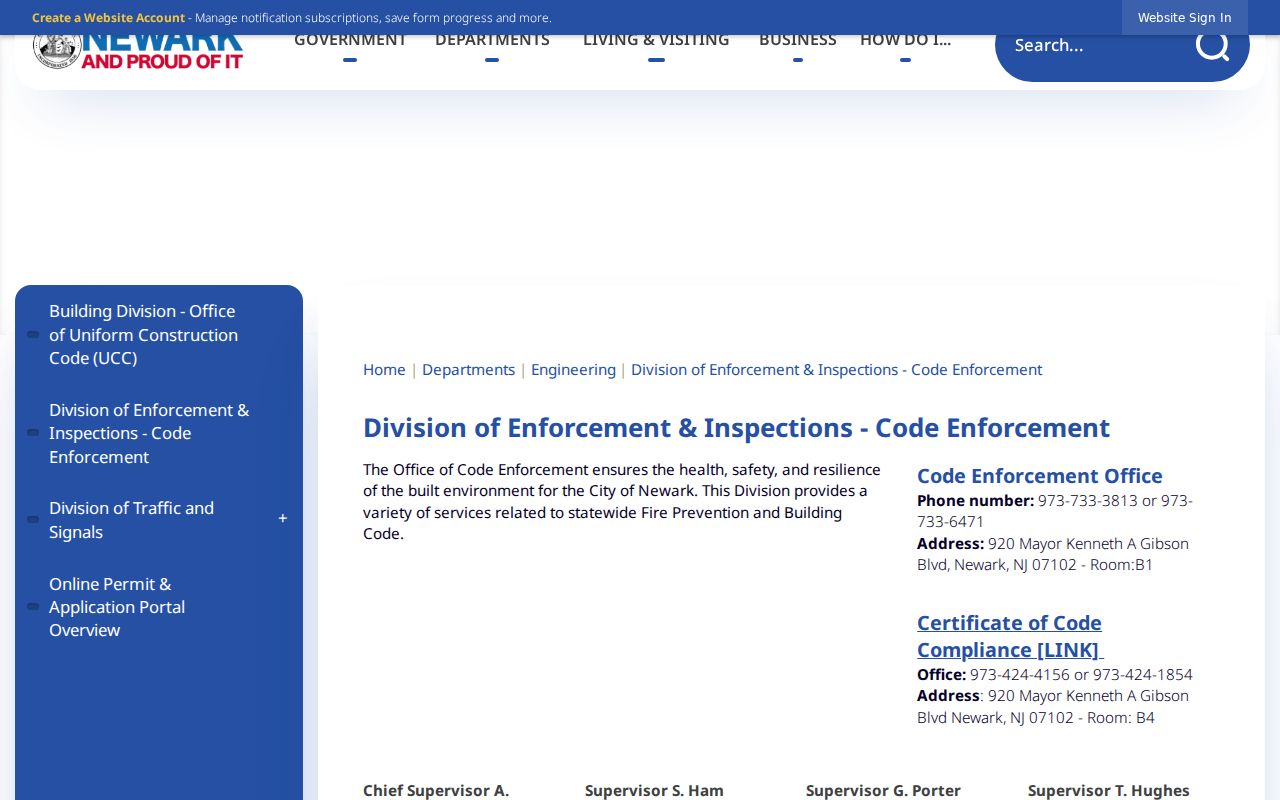
Use a public-facing record description and avoid reproducing sensitive complaint narratives or personal details from a case file.
For an address outside Newark, first identify that municipality’s clerk, assessor, Building office, Code Enforcement office, and OPRA custodian. The Essex County Tax Board’s assessor contacts are a starting point, not a substitute for checking the municipality’s current page.
Historic Clues Along Essex County Streets
When a modern parcel trail ends, historical street-order and criss-cross directories can place an address in a dated neighborhood setting. Newark’s directory collection includes city and criss-cross directories from roughly 1835 through 1964, followed by Newark and suburban Essex criss-cross holdings from about 1972 into the current collection. A street listing can show an address and dated listing, but it does not prove present occupancy or ownership.
The Newark Public Library directory collection also includes telephone and reverse-address material. Search the alphabetical and street-order sections, retain the printed year and abbreviations, and compare the entry with a map, deed, census, or newspaper. The historical collection itself is covered in more depth by the Essex County city directory.
Newark’s digitized 1835–1964 run reports 104 objects and more than 217,000 files. Those numbers make it a rich but imperfect address source: scanned pages can be missing or hard to read, so a blank page or absent entry is a research gap rather than negative proof.
Essex County Street Directory Terms
Small distinctions keep address research from drifting into an unsupported conclusion. Use the same term consistently in notes and requests.
- Parcel
- A mapped land unit tied to fields such as municipality, block, lot, and PIN. Its polygon is not a legal survey.
- Situs address
- The physical location of the parcel. It can differ from the tax record’s mailing address.
- Plat or map
- A recorded or mapped depiction that may help explain a subdivision or street change, but must be read with its source and date.
- Criss-cross directory
- A reverse or street-order directory that organizes entries by address for a particular publication year.
Limits of an Essex County Street Directory
Address records leave many things private. A tax card can show annual property context without proving occupancy. A directory listing is tied to its publication year. The state map can hide owner names under Daniel’s Law. Voter-list access has statutory exclusions, including signatures and protected-person addresses. Court, vital, motor-vehicle, and utility information follow their own confidentiality rules and should not be treated as an address-search extension.
When a county or municipal record is not online, the proper fallback is the relevant custodian, office counter, records request, library, or archive. The New Jersey Open Public Records Act, N.J.S.A. 47:1A-1 et seq., applies to identifiable government records and does not require an office to create a custom street dossier or perform a title search.
Lawful use. Use street and address records for personal, lawful research, family history, property context, or civic understanding. New Jersey’s stalking statute, N.J.S.A. 2C:12-10, prohibits conduct that repeatedly monitors, threatens, or causes fear; do not use records to harass, intimidate, or confront anyone at an address.