
Essex County ZIP Code Coverage
Essex County has no single postal boundary that also works as a municipal map. The verified county starting index below groups common geographic ZIPs by the municipality or delivery context identified in the research. It is deliberately a search index, not a promise that every address in a town has that ZIP. The USPS ZIP Lookup is the check for the full address, city, state, and unit. Keep its result beside the civil municipality when searching deeds, assessments, directories, or local records.
| ZIP | Areas Covered | Post Office | Notes |
|---|---|---|---|
| 07003 | Bloomfield | Verify through USPS | Use the street-level result, not the township boundary. |
| 07004 | Fairfield | Verify through USPS | Confirm the exact address and unit. |
| 07006–07007 | Caldwell-area delivery | Verify through USPS | The two codes are not interchangeable; 07007 needs direct verification. |
| 07009 | Cedar Grove | Verify through USPS | Check the municipality separately. |
| 07017–07019 | East Orange | Verify through USPS | Several delivery ZIPs do not identify a ward or district. |
| 07021–07028 | Essex Fells and Glen Ridge | Verify through USPS | Map the parcel with the municipality. |
| 07039–07041, 07078 | Livingston, Maplewood, Millburn and Short Hills context | Verify through USPS | Community, postal, and municipal names can differ. |
| 07042–07043 | Montclair | Verify through USPS | Use street and parcel data for neighborhood work. |
| 07050–07052 | Orange and West Orange | Verify through USPS | Delivery names can differ from local assumptions; verify 07051 live. |
| 07068–07079 | Roseland and South Orange | Verify through USPS | Association and municipal boundaries are separate layers. |
| 07102–07108, 07112 | Newark | Verify through USPS | Multiple residential and institutional delivery areas occur here. |
| 07109–07111 | Belleville, Nutley and Irvington | Verify through USPS | Confirm the exact address before county classification. |
Newark also has unique, institutional, airport, and PO-box-oriented codes. Those should not be treated as ordinary residential areas without a live USPS result. The research did not locate a static official Essex ZIP-to-post-office table or a documented ZIP realignment history, so a row that matters to a search needs a current postal check.
Essex County Delivery Records
A ZIP code directs mail. It does not define a neighborhood, parcel, ownership interest, ward, or municipal jurisdiction. That distinction is useful in Essex County because Caldwell-area delivery can involve more than one ZIP, Millburn and Short Hills show the difference between a community name and a civil municipality, and Newark uses several delivery areas. A long street can also cross a town line while its postal description remains familiar to residents.
Use the ZIP code directory as the first sort, then use the municipality and street address as the records keys. NJGIN and the state parcel layer can connect a location to its municipality, block, lot, and PAMS PIN. Parcel polygons are mapped data, not legal surveys. If the postal name and municipal name differ, preserve both instead of forcing the address into one label.
Search Essex County by ZIP Code
A ZIP-based search works best as a narrowing step. It can help select a delivery area in a directory, newspaper, or map search, but the official records that stabilize a property use municipality, address, block, lot, and PIN. The state property tools accept an address route that can include ZIP context. The Essex Register's PRESS system is then searched by municipality and block/lot or by a dated name and document query, not by a ZIP alone.
- Run the full street address, city, state, and unit through the USPS lookup. Preserve the returned city and ZIP exactly.
- Use the ZIP, street, and city in NJ GeoWeb or NJGIN to compare the delivery area with the county, municipality, and parcel context.
- Record the parcel's block, lot, and PAMS PIN when the map resolves one parcel. Mark an apartment, campus, or multi-parcel result as ambiguous.
- Search Essex PRESS by municipality, block, and lot. Its date range is limited to 90 days, so a longer document search must be split into dated windows.
- Use the municipal assessor, local clerk, or historical directory source for the particular record needed. A ZIP result alone cannot prove a current or past resident.
Once the postal area is narrowed to a named road, the Essex County street directory has the address-by-address record chain. That separate workflow is better suited to a full street or parcel question.
Essex County Parcel Records
New Jersey Property Tax Transparency and NJGIN provide property and map context, not a ZIP-wide list of residents. The state filter inventory includes an address search route through street, city, and ZIP, together with county and municipality, block-lot, PIN, tax class, assessment, and size filters. Local assessor screens can differ, and state-hosted owner names may be redacted under Daniel's Law.
| Field label | Type | Required | Options / format notes |
|---|---|---|---|
| Address Search | Text / map search | Optional | NJGIN and GeoWeb support the street, city, and postal-area route; exact app behavior varies. |
| County / Municipality | Dropdown | Optional | Select Essex County and the civil municipality after checking the delivery result. |
| PIN | Text | Optional | Parcel identifier or PAMS PIN; it does not identify a resident. |
| Block–Lot | Paired text | Optional | Use the municipality-specific format, then move to the Register's land-record index. |
| Owner | Text / search | Optional | Where the application permits it; a name may be blank or redacted. |
| Property Type / Tax Class | Dropdown / filter | Optional | Options depend on the application and are property context, not a postal boundary. |
See the Property Tax Transparency tool before relying on its assessment fields.
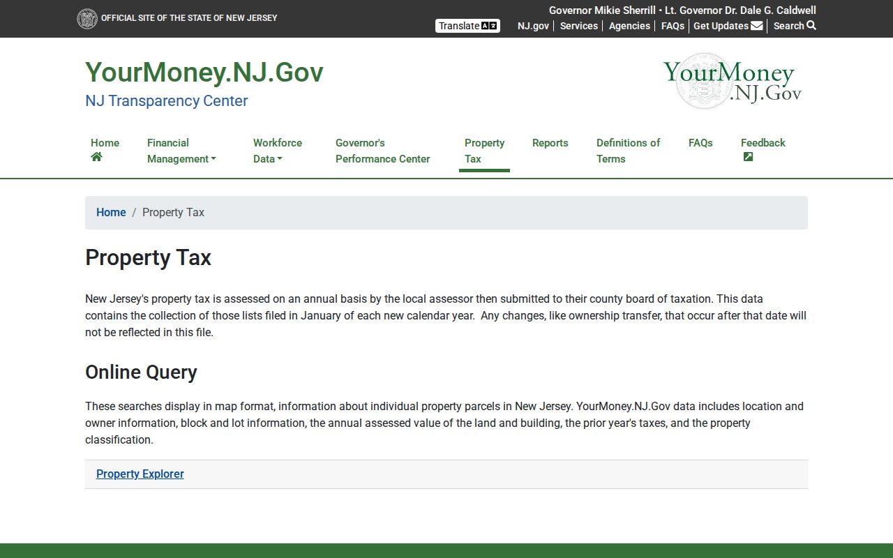
The tool is strongest for recording the tax year, parcel identifiers, property class, and the difference between a mapped property location and a mailing address. An annual assessment can lag a later recorded transfer.
Essex County ZIP Code City Limits
City limits, postal names, and county records use different geographies. In Essex County, municipality is the civil jurisdiction for a local assessor or clerk, while ZIP code is a delivery area. A search that begins only with a community label can miss the record custodian when the street has a different postal city or crosses a municipal edge. Keep the address, USPS city, municipality, and parcel location as separate fields in a research note.
That separation also avoids a common error with ownership questions. A tax card may show a mailing address that is different from the situs address, meaning the physical parcel location. Neither establishes occupancy. The NJGIS parcel service can supply fields such as PAMS PIN, municipality, block, lot, property class, property location, street address, update date, and shape, but a map is not a survey and a redacted owner field is not a missing record.
Essex County Delivery Geography
A Census ZIP Code Tabulation Area, or ZCTA, is a statistical approximation of ZIP geography. It can be noncontiguous and does not represent every USPS ZIP. In particular, some unique, PO-box, or single-institution postal codes have no equivalent ZCTA. Use Census geography for an area-level statistic or map, then return to USPS for an address-level delivery answer.
- ZIP code
- A USPS delivery code used to sort mail. It is not a municipal or parcel boundary.
- ZIP+4
- An added delivery segment that narrows routing below the five-digit ZIP. It does not identify a household for records purposes.
- PO-box ZIP
- A ZIP used for post-office boxes. It should not be read as a residential service area without a USPS check.
- Unique ZIP
- A ZIP associated with one institution or delivery arrangement. Its presence does not establish a neighborhood boundary.
- Carrier route
- A mail-delivery grouping inside postal operations. It is not a legal property or city limit.
Read the Census ZCTA guidance before joining statistical data to a postal result.
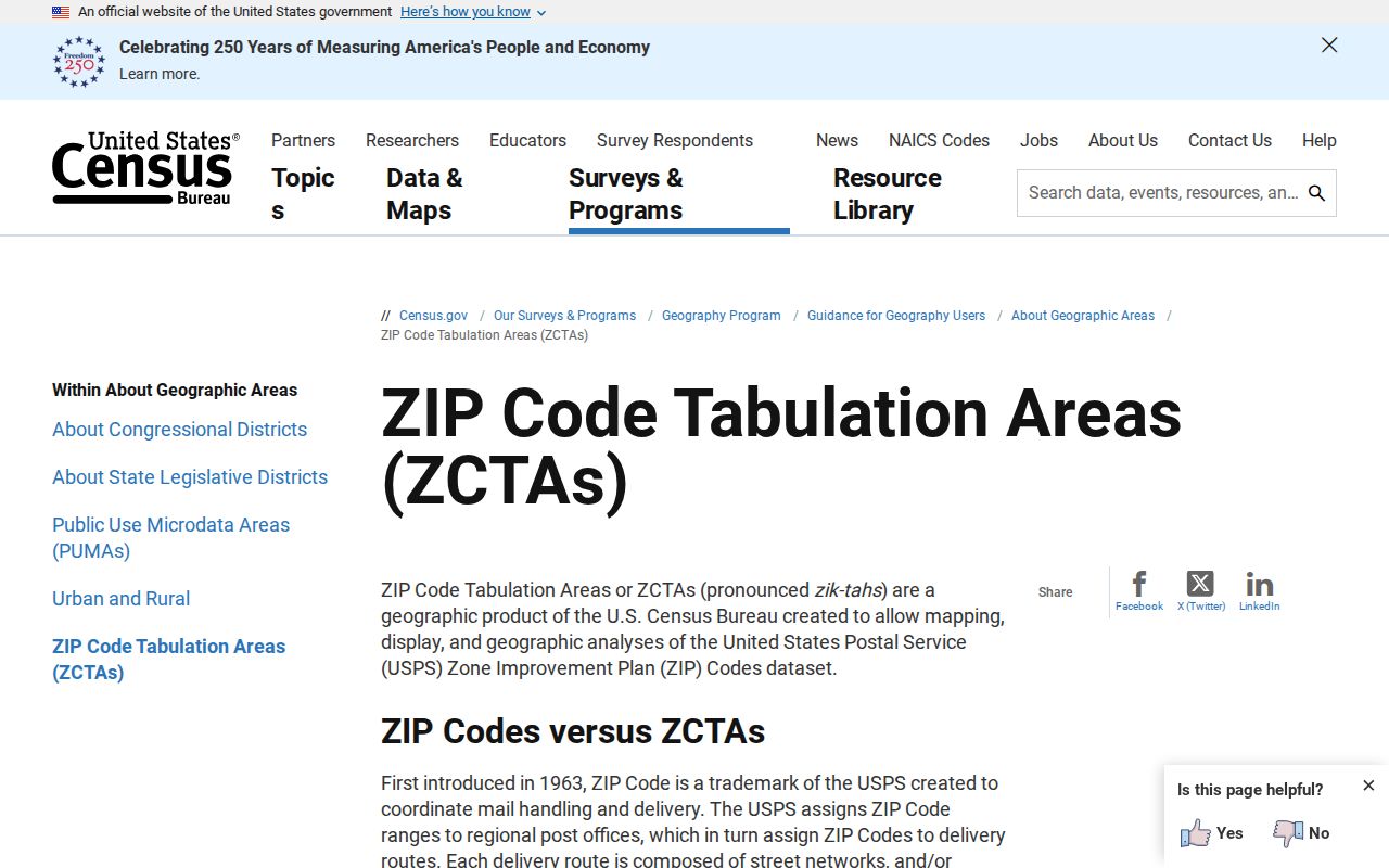
The distinction prevents a ZIP code directory from turning an approximate statistical area into a postal promise for an individual Essex County address.
Essex County Directory ZIP Context
ZIP filters are useful for modern map and directory narrowing, yet older sources require older geography. Newark Public Library holds Newark city and crisscross directories from about 1835 through 1964, with later Essex and Newark-and-Suburban reverse-address material. A historic entry may use a street name, ward, or nearby cross street rather than a modern ZIP. Compare it with a map and the municipal location instead of retrofitting a current delivery code onto the older record.
The New Jersey Room's digitized Newark directory collection is organized by year and reports 104 objects and more than 217,000 files. Those numbers show the depth of the collection, not complete coverage for every address. Poor scans, missing pages, and changes in directory series mean that an absence should be logged as a source gap, then checked against physical or microfilm holdings.
Note: Record the date of each live USPS, map, and parcel result because Essex delivery names and state parcel layers can change independently.
Essex County Delivery Records Change
NJGIN's archive records Property Explorer beta work in 2025, a later transition out of beta, and parcel-data updates that included Essex in 2026. The Essex Tax Board also identifies a 2026 office move. These are reminders to record an access date and the parcel layer's own update date, especially if a delivery result, municipality, or owner display will be used to locate a custodian or compare a historical address.
For a defensible search log, preserve the original address, USPS result, municipality, postal area, block, lot, PAMS PIN, portal name, and date searched. Label an item as a delivery result, map point, assessment record, index entry, image, or certified copy. Those are different levels of evidence and should not be blended into one claim. If a query returns no parcel, record whether the address is a unit, campus, corner lot, or delivery point before trying a broader map search. Also retain the original spelling and any former municipality wording from an older source so later searches do not silently replace the historical address.